Boarden FarmBNG offset site
Local Planning Authority (LPA): Maidstone
National Character Area (NCA): Low Weald
Biodiversity Opportunity Area (BOA): Medway & Low Weald Grassland & Wetland
OS grid ref: TQ 80904 45017
Postcode: TN12 0EB
What3words: ///unicorns.hurls.trek
Habitat units available - Surveyed 2023
A total of 118.529 habitat units, 10.118 hedgerow units and 0.26 watercourse units are available from the following habitat types:
Grassland
Lowland dry acid grassland (High distinctiveness) - 3.174 units
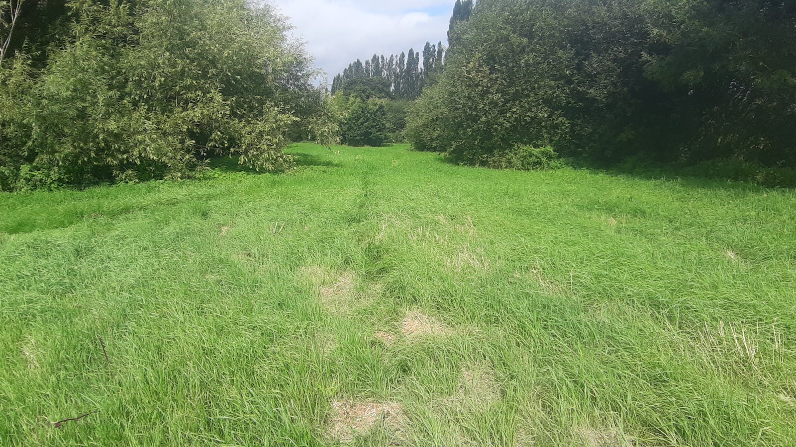
Other neutral grassland (Medium distinctiveness) - 77.793 units
Heathland and Shrub
Mixed scrub (Medium distinctiveness) - 17.259 units
Woodland
Lowland mixed deciduous woodland (High distinctiveness) - 2.747 units
Wet woodland (High distinctiveness) - 11.860 units
Other woodland; broadleaved (Medium distinctiveness) - 3.540 units
Ponds and Lakes
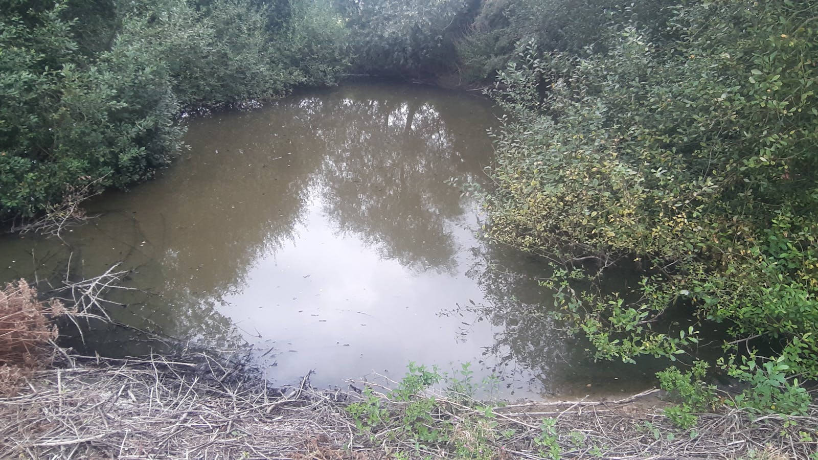
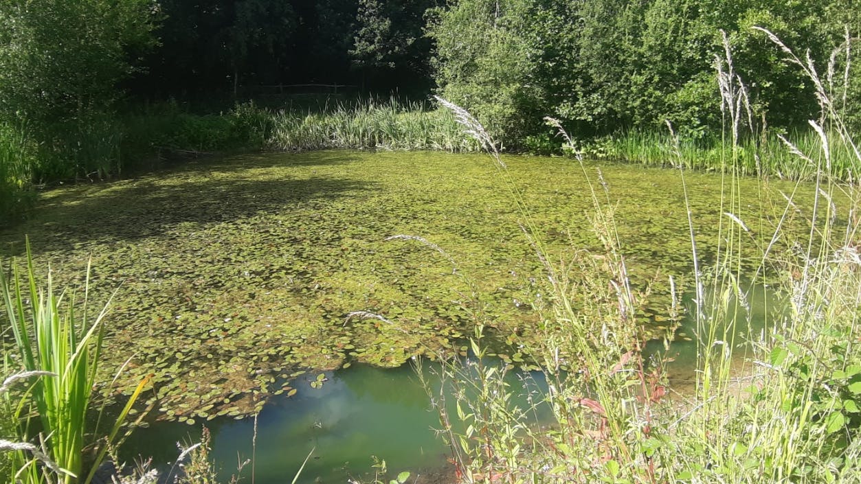
Ponds (priority habitat) - 0.846 units
Ponds (non-priority habitat) - 0.732 units
Wetland
Reedbeds (High distinctiveness) - 0.296 units
Individual trees
Rural trees - 0.281 units
Hedgerow
Line of Trees - 1.070 units
Line of trees - associated with bank or ditch - 0.138 units
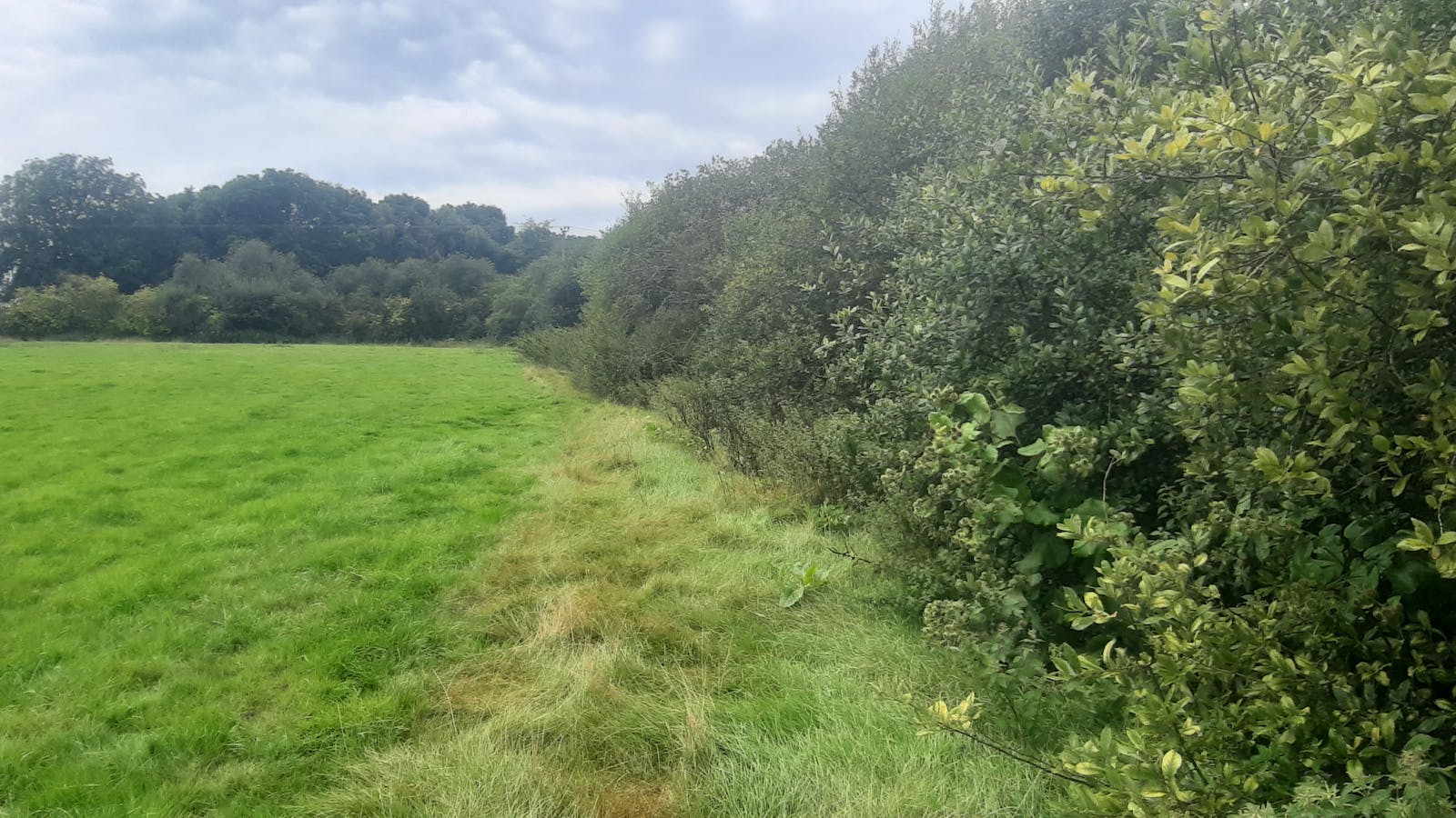
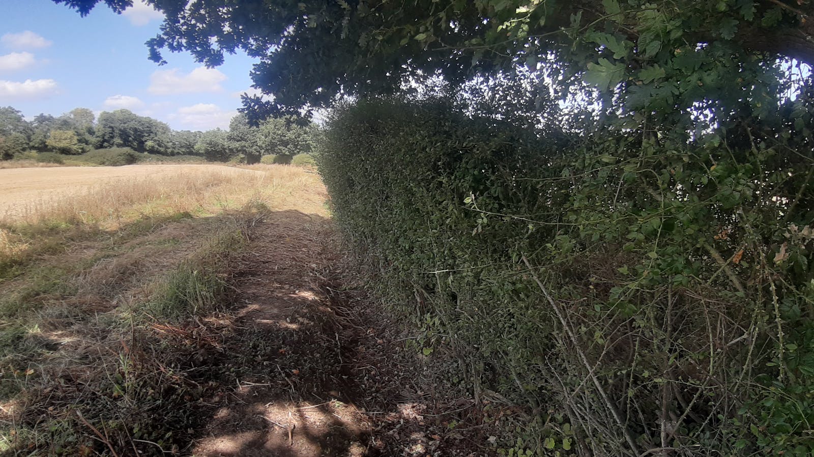
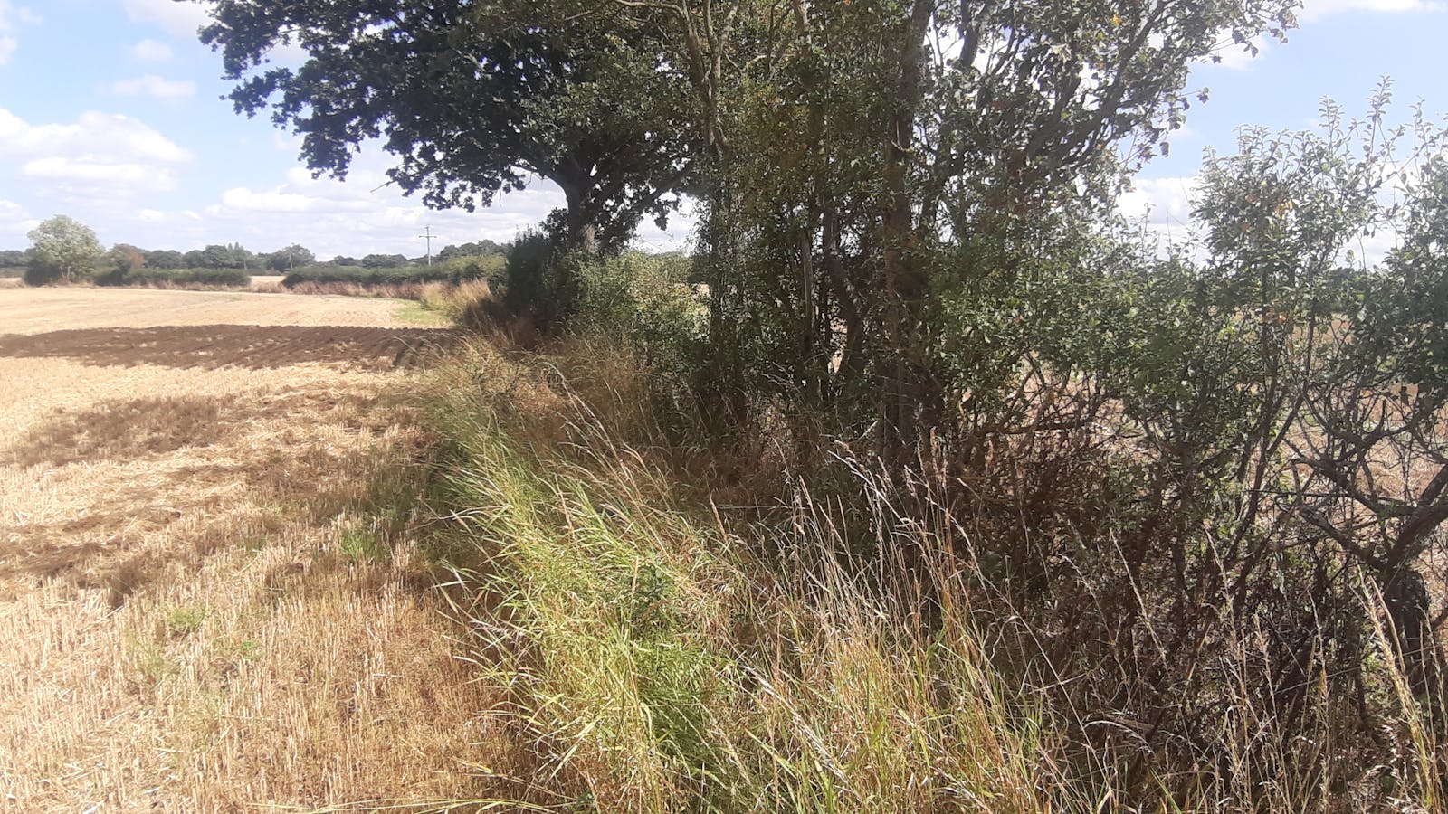
Species-rich native hedgerow - 8.344 units
Species-rich native hedgerow - associated with bank or ditch - 0.566 units
Watercourse
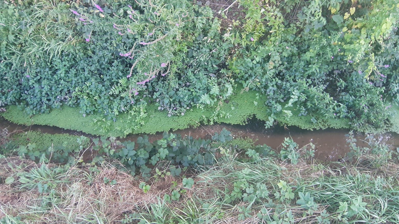
Ditch - 0.260 units
Site description
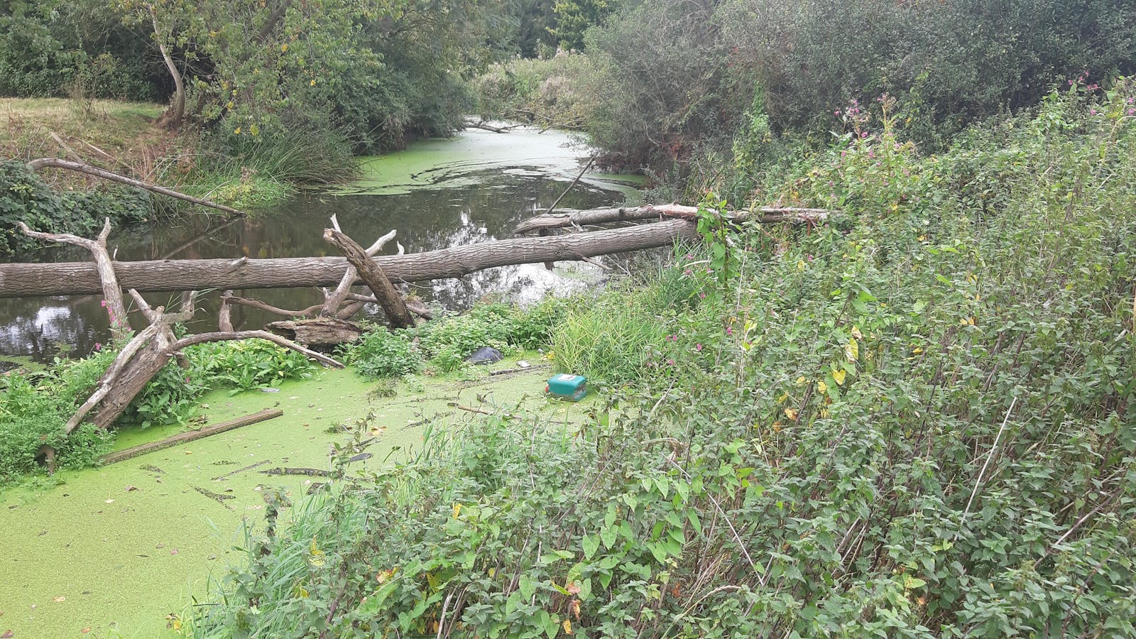
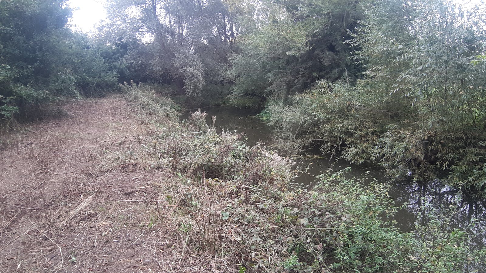
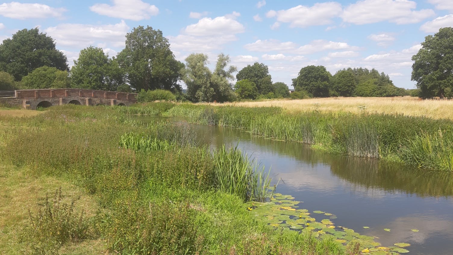
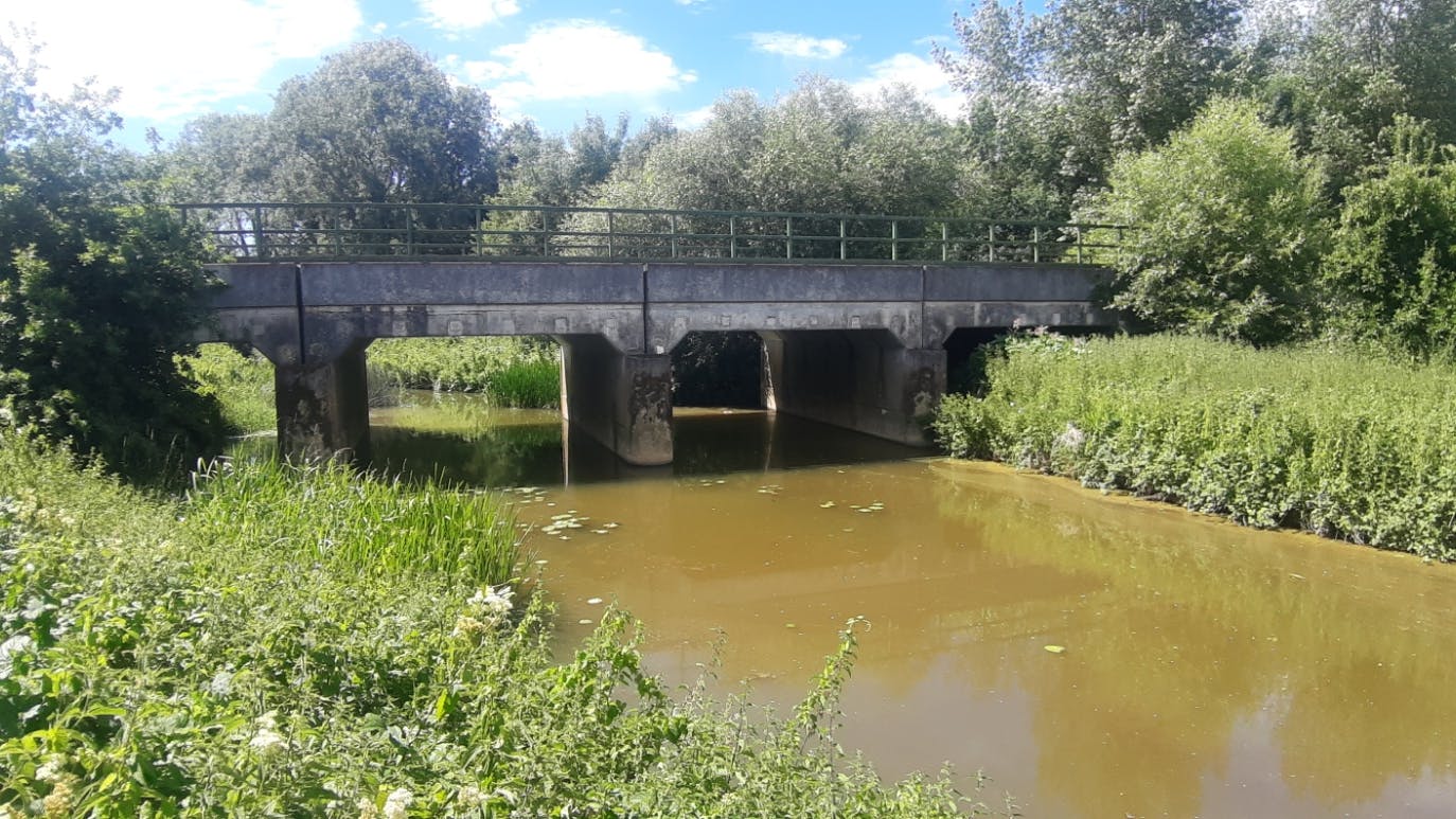
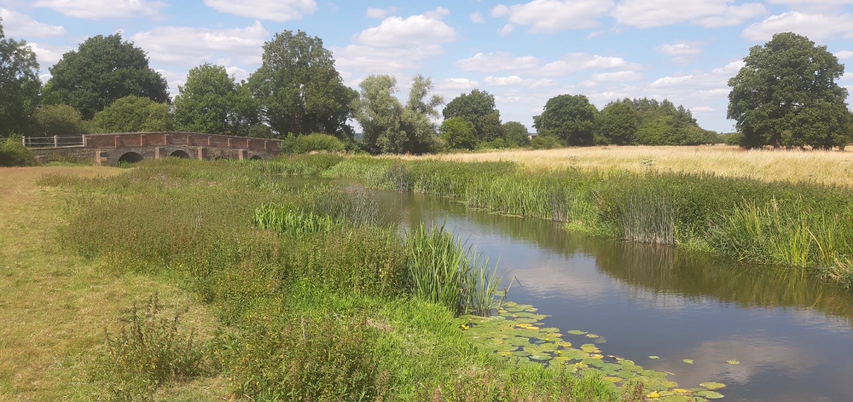
Boarden Farm is approximately 44.2 ha and situated around 10 km south of Maidstone in Kent, extending along the river Beult between the villages of Staplehurst and Headcorn. The River Beult SSSI snakes through the site.
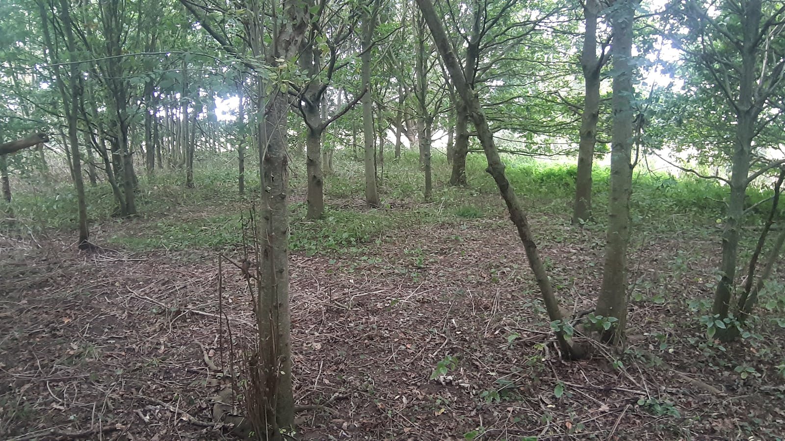
The site itself contains several patches of ancient woodland and is part of the Kelsham Farm Orchards Local Wildlife Site.
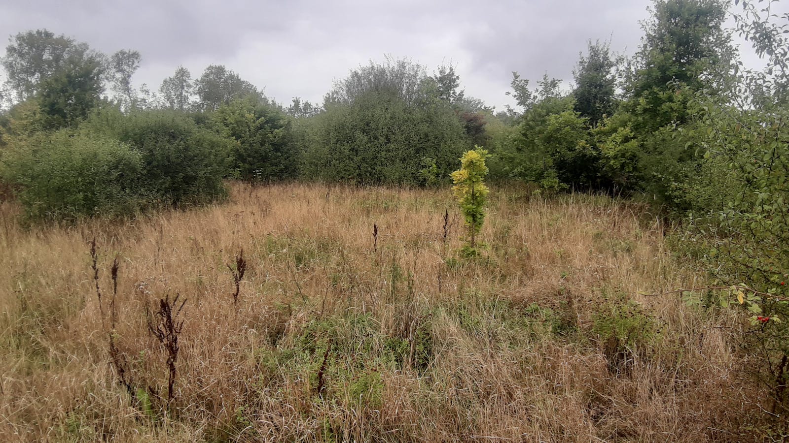
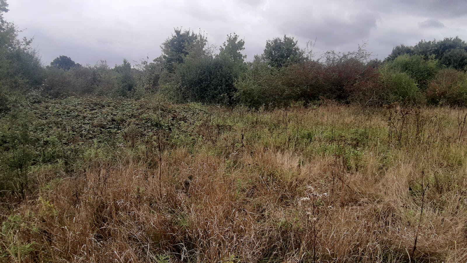
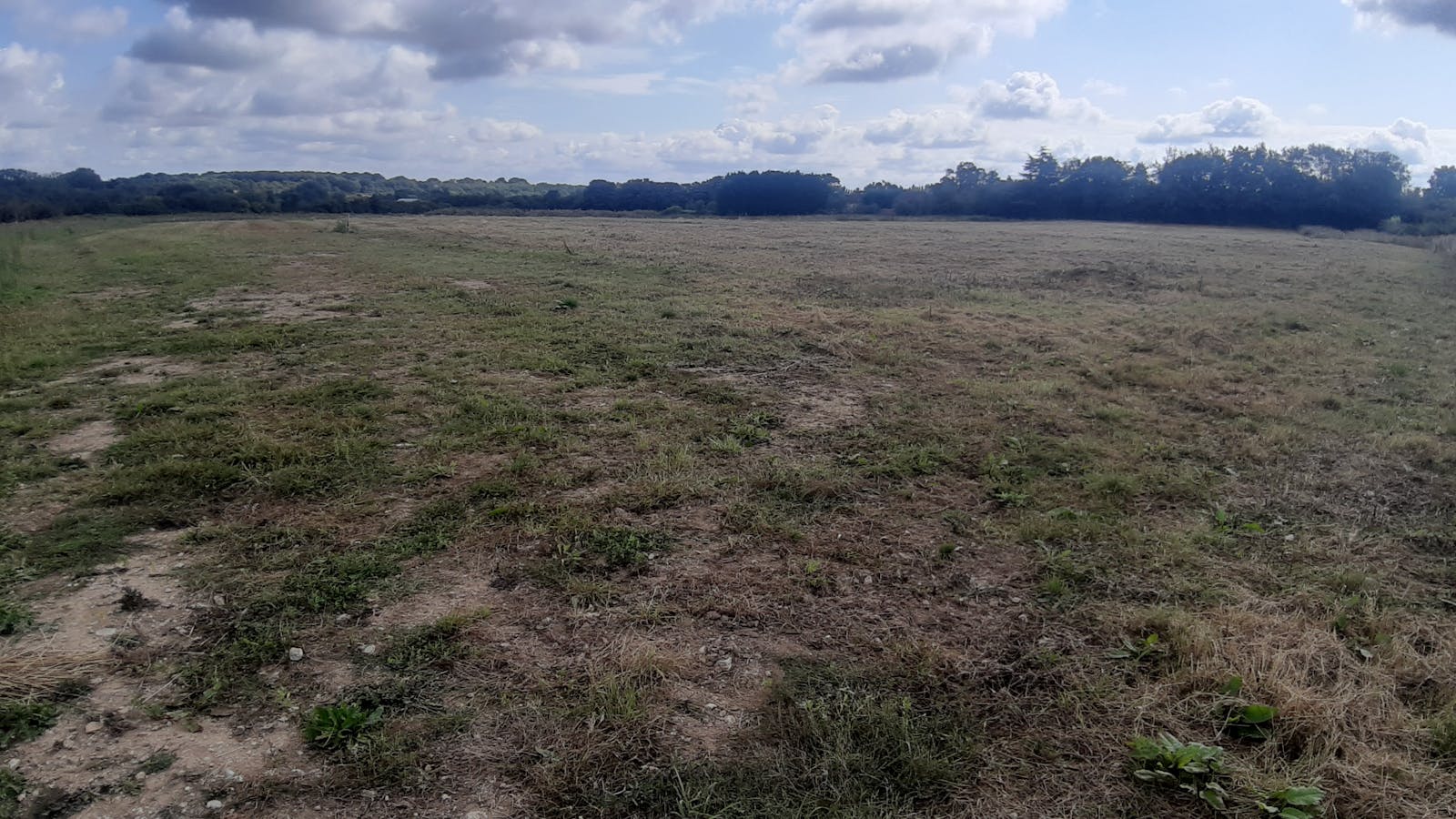
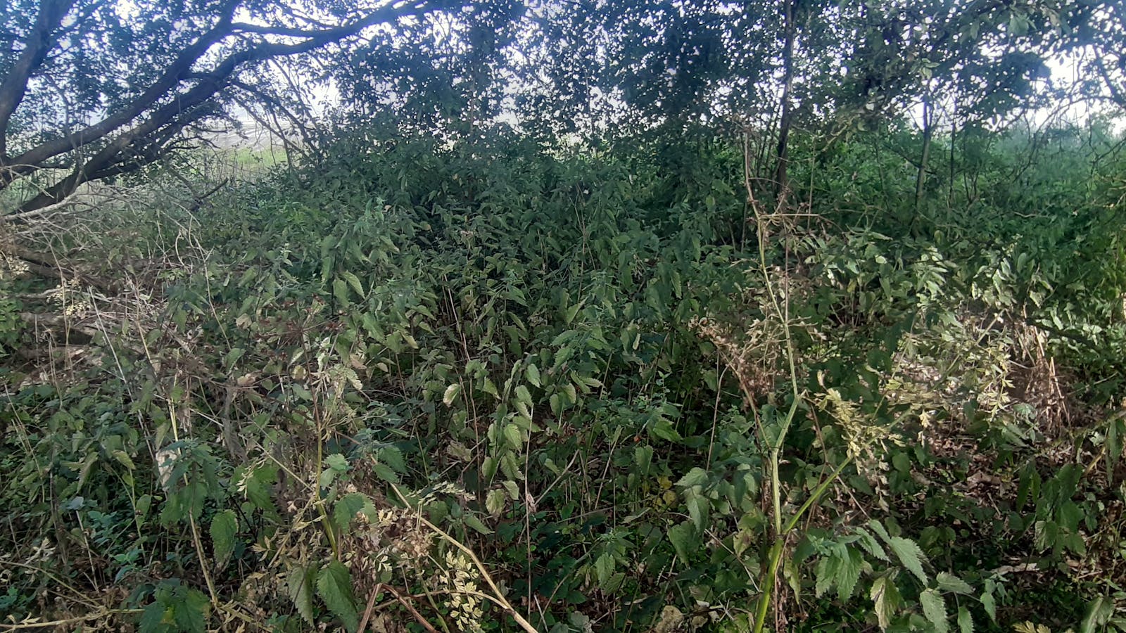
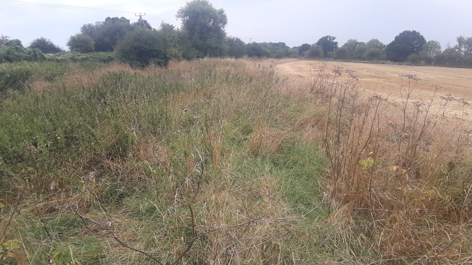
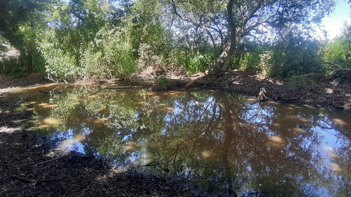
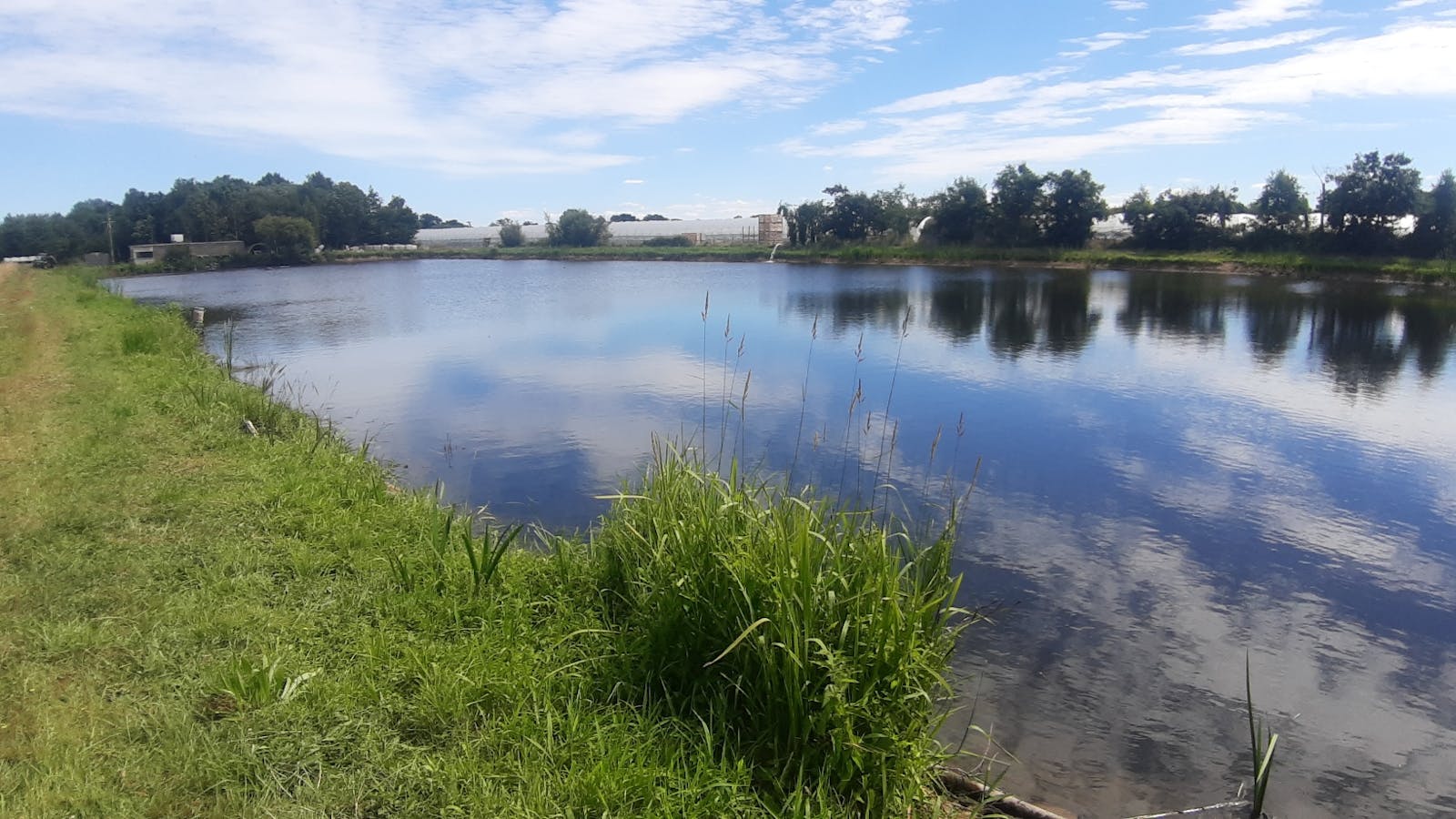
Current habitats on site include other neutral grassland, modified grassland, wet woodland, lowland mixed deciduous woodland, other broadleaved woodland, reedbeds, cereal crop, ponds (non-priority) and mixed scrub. Linear features include line of trees, line of trees with associated bank or ditch and species-rich native hedgerows. Individual trees are also on site.
Proposals will see the modified grassland being enhanced to lowland acid grassland and other neutral grassland, in some places the grassland will be turned to mixed scrub, other broadleaved woodland, wet woodland with (non-priority) ponds be established in certain areas.
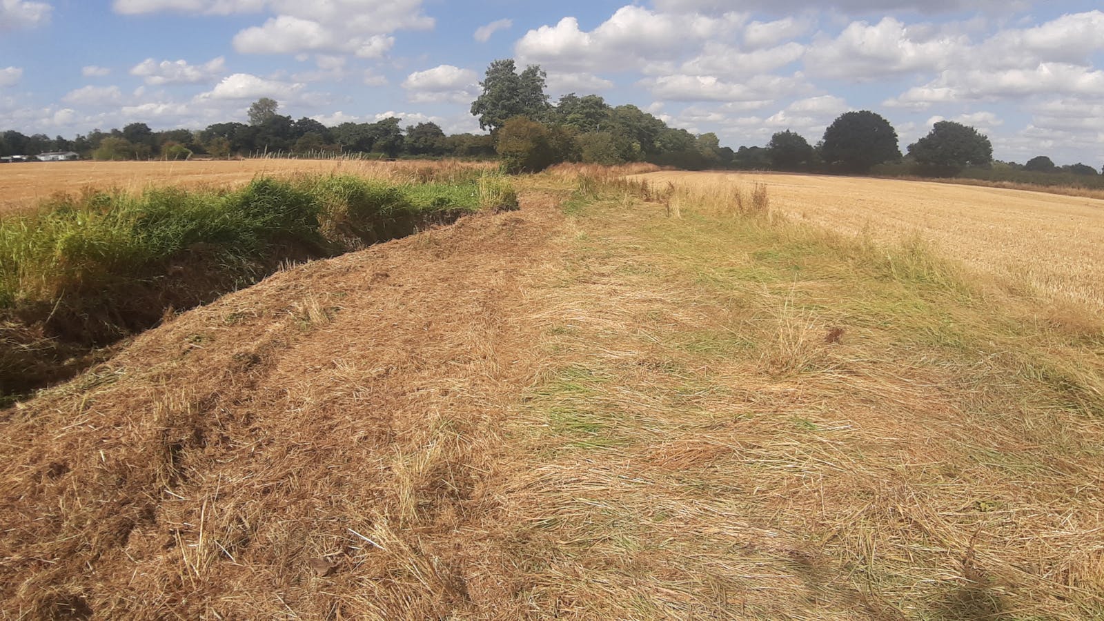
The cropland will be transformed into lowland dry acid grassland, other neutral grassland, mixed scrub and other broadleaved woodland with non-priority ponds being installed within the other neutral grassland.
All other habitats, linear features and individual trees will be enhanced to a better condition.
Additional line of trees and species-rich native hedgerows will be planted.
These will support a diverse assemblage of wildlife and will be particularly favourable for the many woodland edge species that benefit from the shelter of woodland and scrub and the open ground to feed and breed. In addition, transitioning to semi-natural habitats will help to improve water quality and river condition in the River Beult SSSI by reducing nutrient runoff into the river.
Fill out a form at the bottom of this page or email your development's BNG metric to bngenquiries@adonisblue.org.uk for a free BNG consultation.
These units are valid for a maximum of two years, provided site conditions do not significantly change. If more than two years have lapsed between the site survey and habitat works being undertaken, an updated survey will be necessary to ensure recommendations remain valid.

Habitat Transitions


Site Photos
