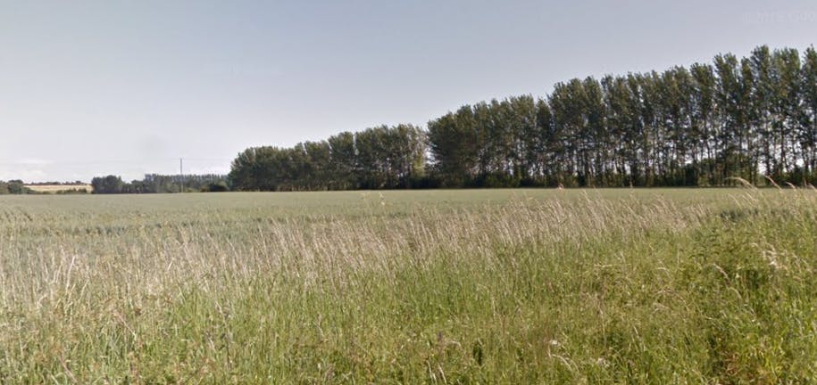
Hook Farm - prospective units BNG proposed offset site
Local Planning Authority: Canterbury
National Character Area(s): North Kent Plain
Biodiversity Opportunity Area: Lower Stour Wetlands
OS grid ref: TR 23904 61941
Postcode: CT3 4BN
What3words: ///ballpoint.digesting.impressed
Proposed Habitat units available
A total of 63.545 habitat units and 5.472 hedgerow units are proposed from the following habitat types:
Grassland
Other neutral grassland (Medium distinctiveness) - 53.897 units
Heathland and Shrub
Mixed scrub (Medium distinctiveness) - 7.955 units
Ponds and Lakes
Ponds (non-priority habitat) - 1.574 units
Individual trees
Rural tree (Medium distinctiveness) - 0.122 units
Hedgerow
Line of trees - 0.333 units
Species-rich native hedgerow - 0.724 units
Species-rich native hedgerow with trees - 0.121 units
Site description
Hook Farm extends approximately 9.2 ha, located just outside the village of Preston, 9.8km northwest of Sandwich and c.9.6km to the east of Canterbury.
On the western side it is directly adjacent to Stodmarsh National Nature Reserve and SSSI, an internationally important site with a mixture of reed beds, fens, wet grassland and open water. The reserve has the largest reed bed in the southeast of England, which supports a range of specialised birds and insects. Bittern, marsh harrier, kingfisher, great crested grebe, coot, moorhen, reed bunting and bearded reedling can all be seen here, as well as water voles and a population of recently introduced beavers.
On the eastern side of the site is Chislet Marshes, Sarre Penn and Preston Marshes Local Wildlife Site.
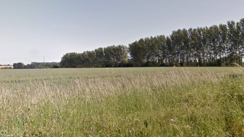
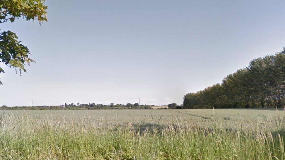
Currently, the site is managed as cereal cropland. We propose to transition it into neutral grassland with areas of dense scrub and ponds scattered around the site. Species-rich native hedgerows will also be created. Over time as the habitats develops, the site will likely be naturally colonized by plants and animals that inhabit the biodiverse neighboring sites and eventually become an indistinguishable part of this important landscape.
Hook Farm is perfectly positioned to enhance connectivity between these two important areas for nature and provide a corridor for wildlife to move across the landscape.
These BNG units are based on a desktop exercise. A full site survey would need to be undertaken to determine the current habitats on site to validate the current units/uplift.

Habitat Transitions


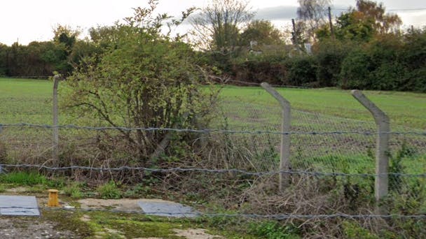
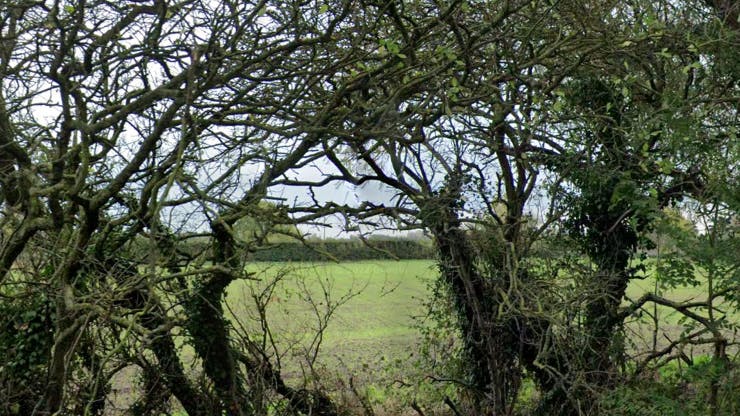
Site Photos
