Land at MonktonBNG offset site
Local Planning Authority: Thanet District
National Character Area: North Kent Plain
OS grid ref: TR 28423 64673
Postcode: CT12 4JH
What3words: ///mainland.pampered.slowness
Habitat units available - Surveyed 2024
A total of 53.90 habitat units, 7.20 hedgerow units and 1.69 watercourse units are available from the following habitats:
Grassland
Other neutral grassland (Medium distinctiveness) - 51.66 units
Heathland and Shrub
Mixed scrub (Medium distinctiveness) - 2.24 units
Hedgerow
Line of trees - 0.43 units
Native hedgerow associated with bank or ditch - 0.44 units
Species-rich native hedgerow - 5.70 units
Native hedgerow with trees - associated with bank or ditch - 0.62 units
Watercourse
Ditch - 1.69 units
Site description
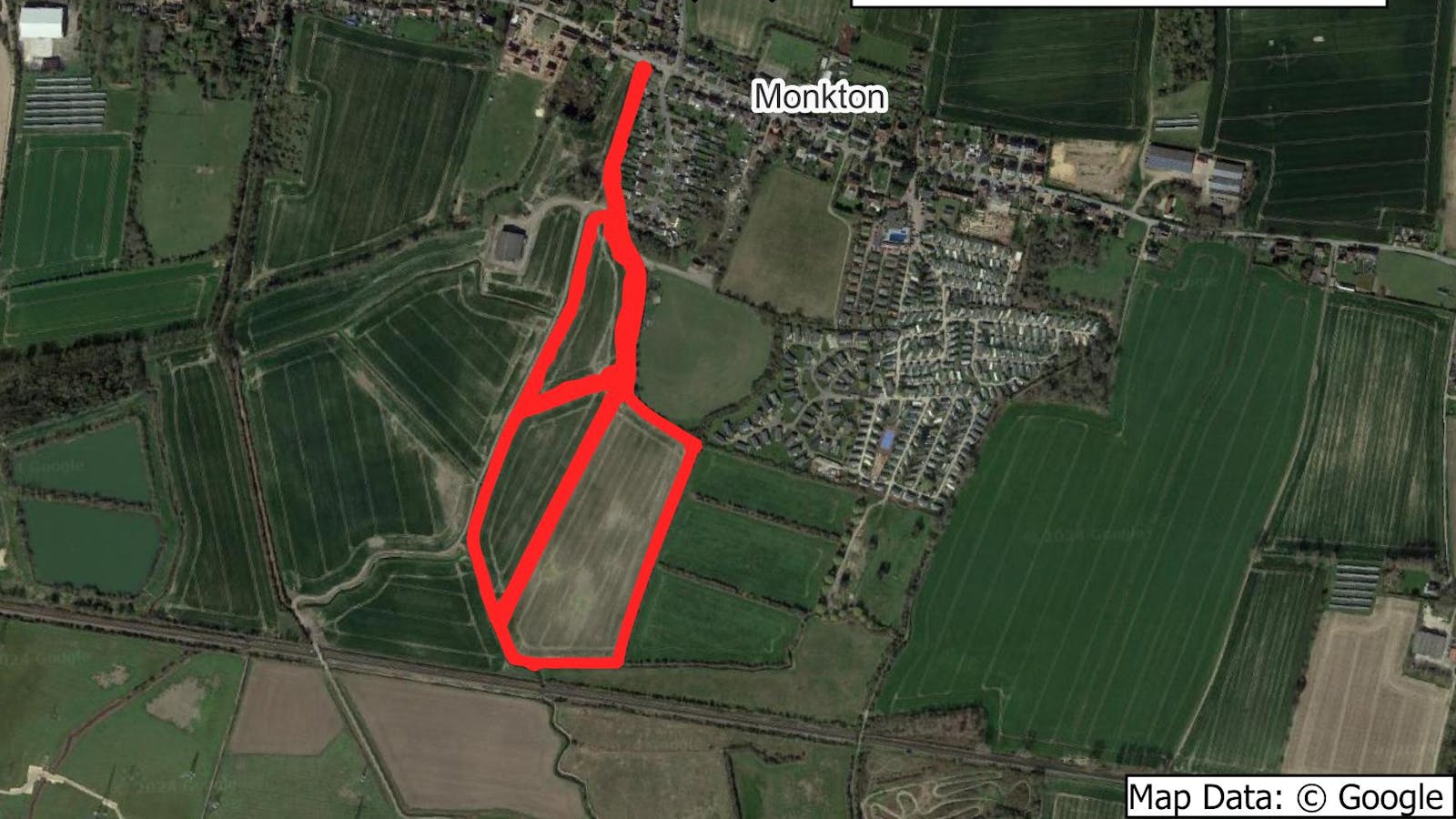
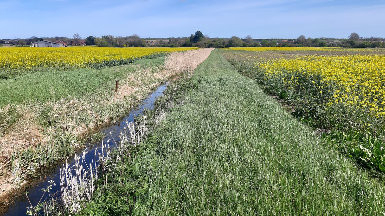
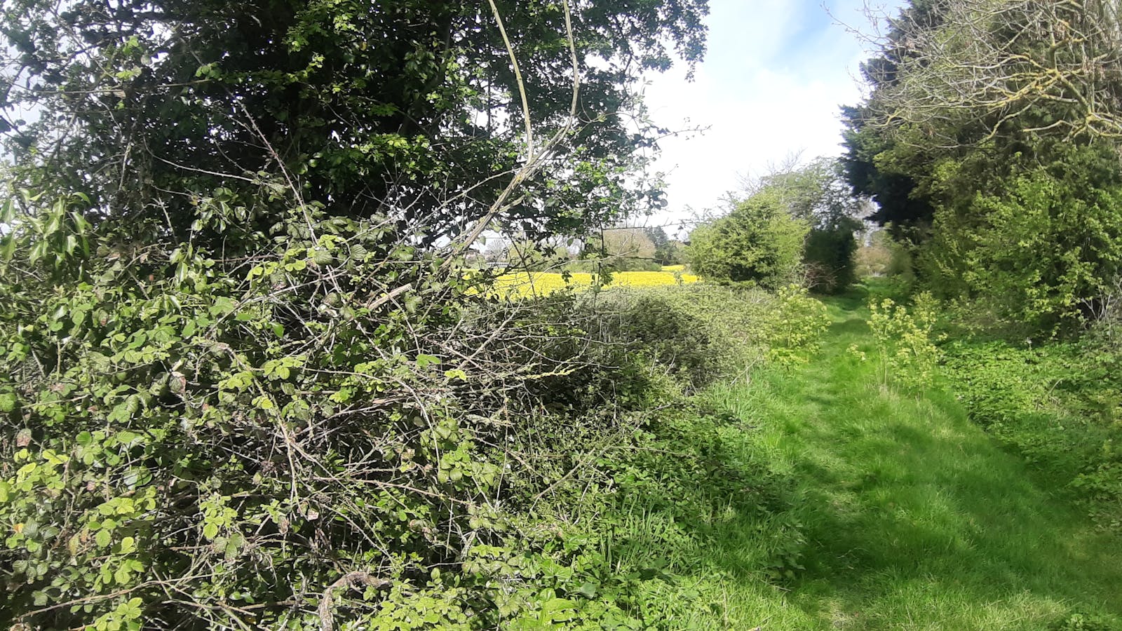
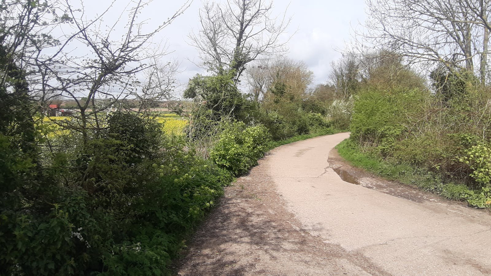
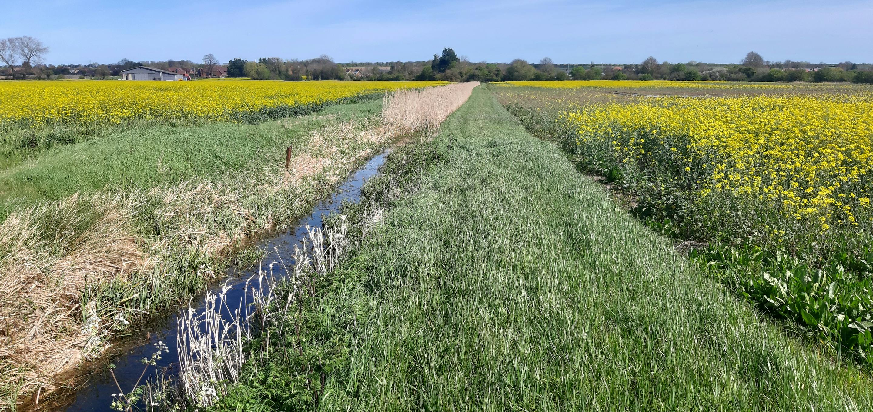
The land at Monkton BNG site is an 8.7 ha farm situated in the village of Monkton, around half way between Herne Bay and Sandwich. The surrounding landscape is largely agricultural, and the farm itself is crisscrossed by a network of streams and ditches that extend into the surrounding land.
The site stretches between the residential area of Monkton and the train line, meaning it has potential to reduce the train's noise pollution to the local village and provide a visual enhancement for the landscape for both local residents and rail users.
Monkton Chalk Pit Local Wildlife Site lies approximately 447m north of the land, a mosaic of habitats that is an important haven for wildlife in the surrounding intensively farmed landscape. It is home to 14 chalk grassland indicator species and six orchids including the rare anthropomorphic man orchid.
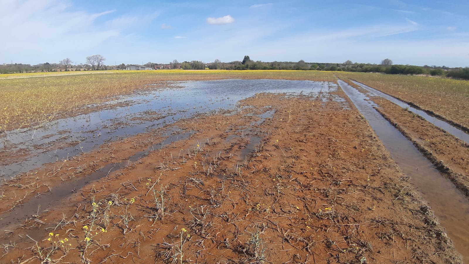
Currently managed as an arable farm, Monkton has the potential to become another "stepping stone" for wildlife in the farmed landscape. It will be transitioned to low-input neutral grassland, which will help to improve water quality by reducing the amount of nutrient runoff into the site's streams and ditches. Floral diversity will be encouraged in the grassland, and the development of scrubby patches will provide habitat for birds, invertebrates, and reptiles. Ditches will be managed to enhance biodiversity, so that they will better support aquatic plants and invertebrate communities.
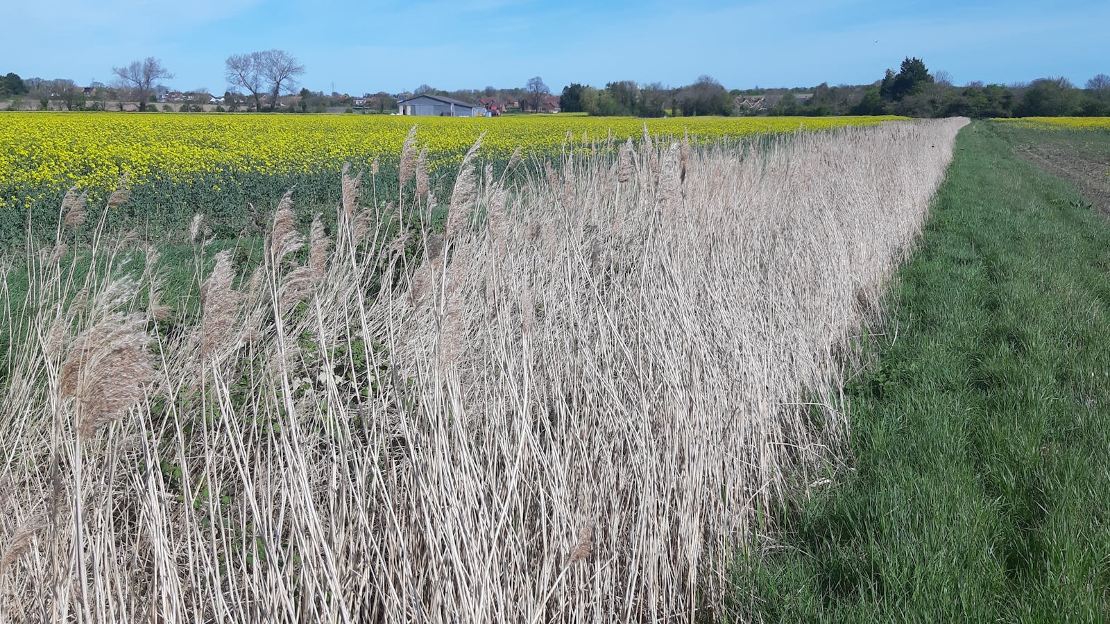
Additional species-rich native hedgerows will be planted with the current hedgerows and line of tree being enhanced to a better condition to improve connectivity.
Fill out a form at the bottom of this page or email your development's BNG metric to bngenquiries@adonisblue.org.uk for a free BNG consultation.
These units are valid for a maximum of two years, provided site conditions do not significantly change. If more than two years have lapsed between the site survey and habitat works being undertaken, an updated survey will be necessary to ensure recommendations remain valid.

Habitat Transitions


Site photos
